33.8°
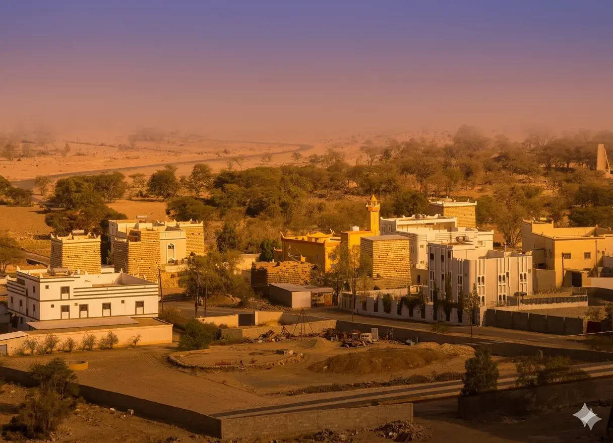
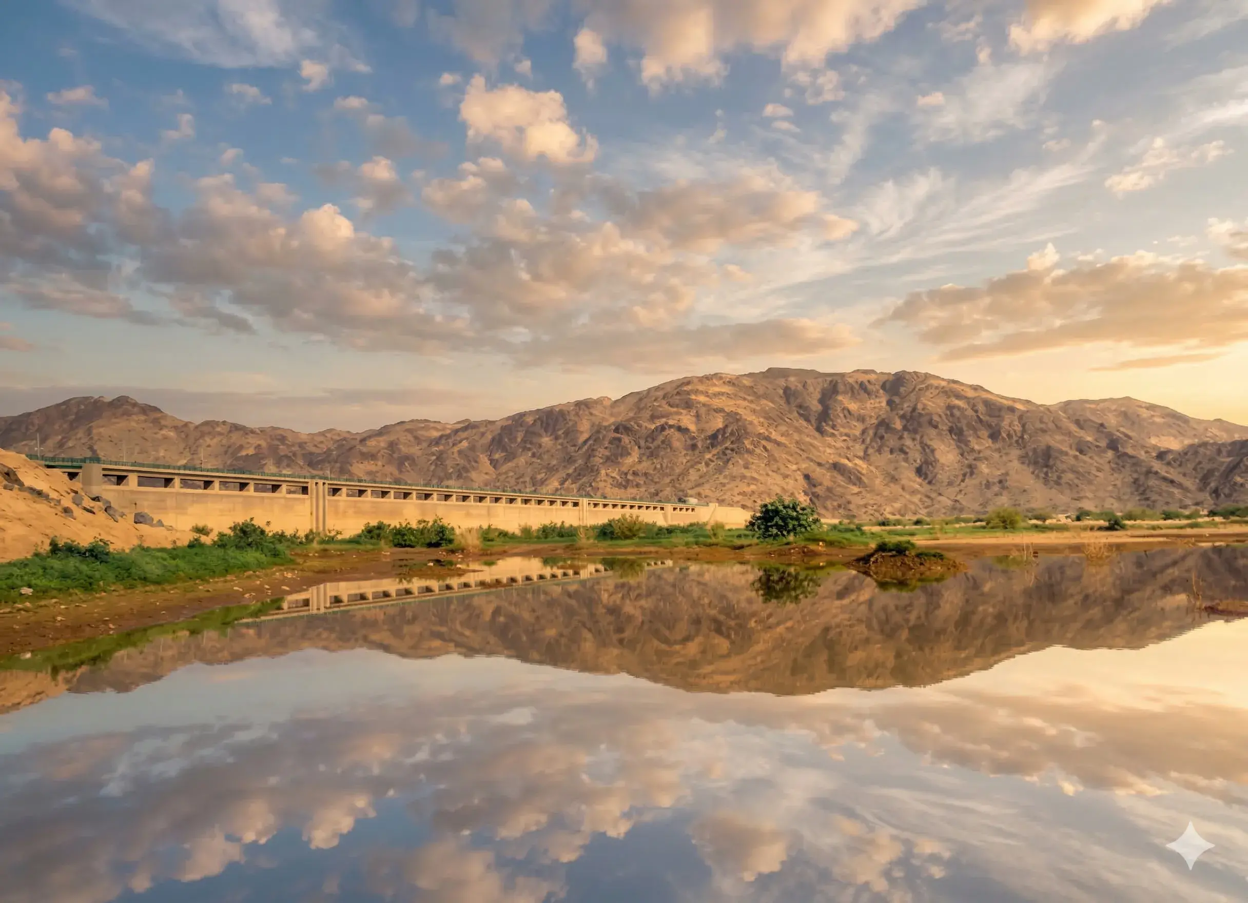
Wadi Fatimah
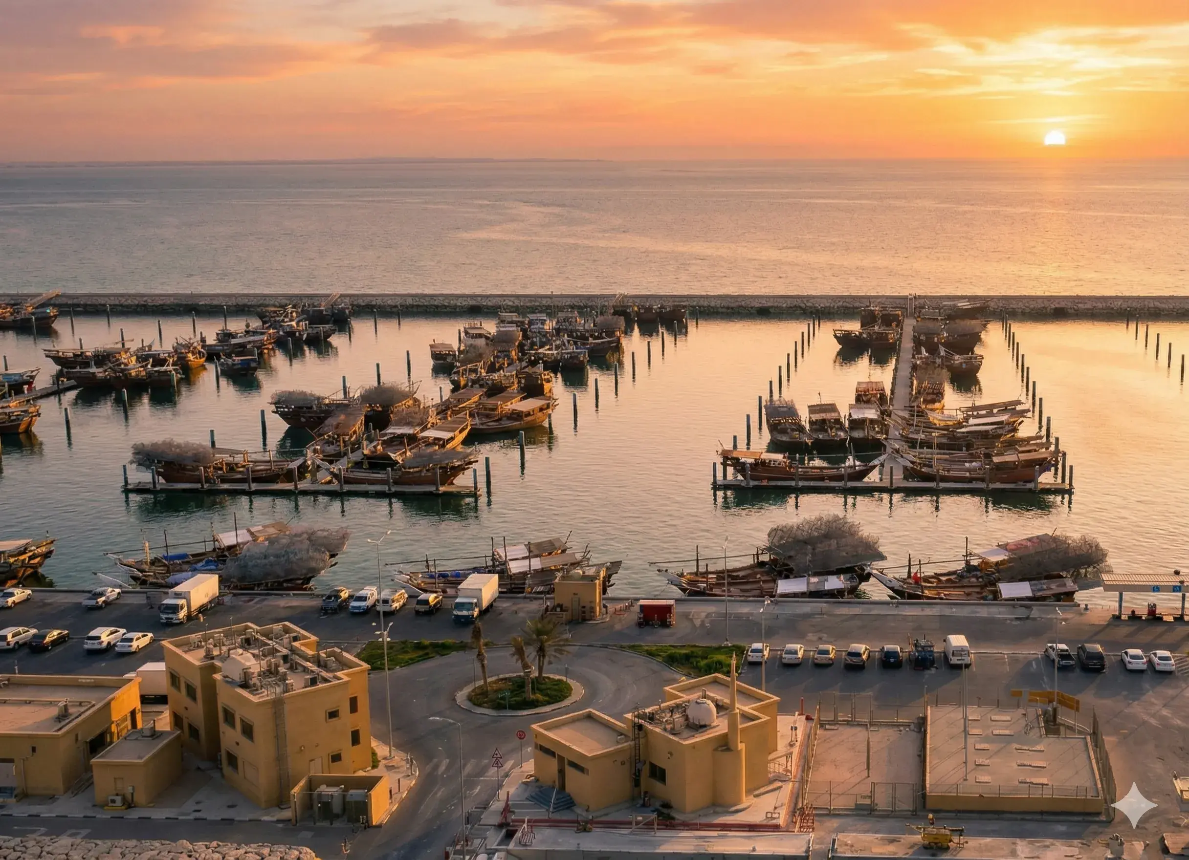
Makkah
Over 200,000 Years of Human Memory
Makkah
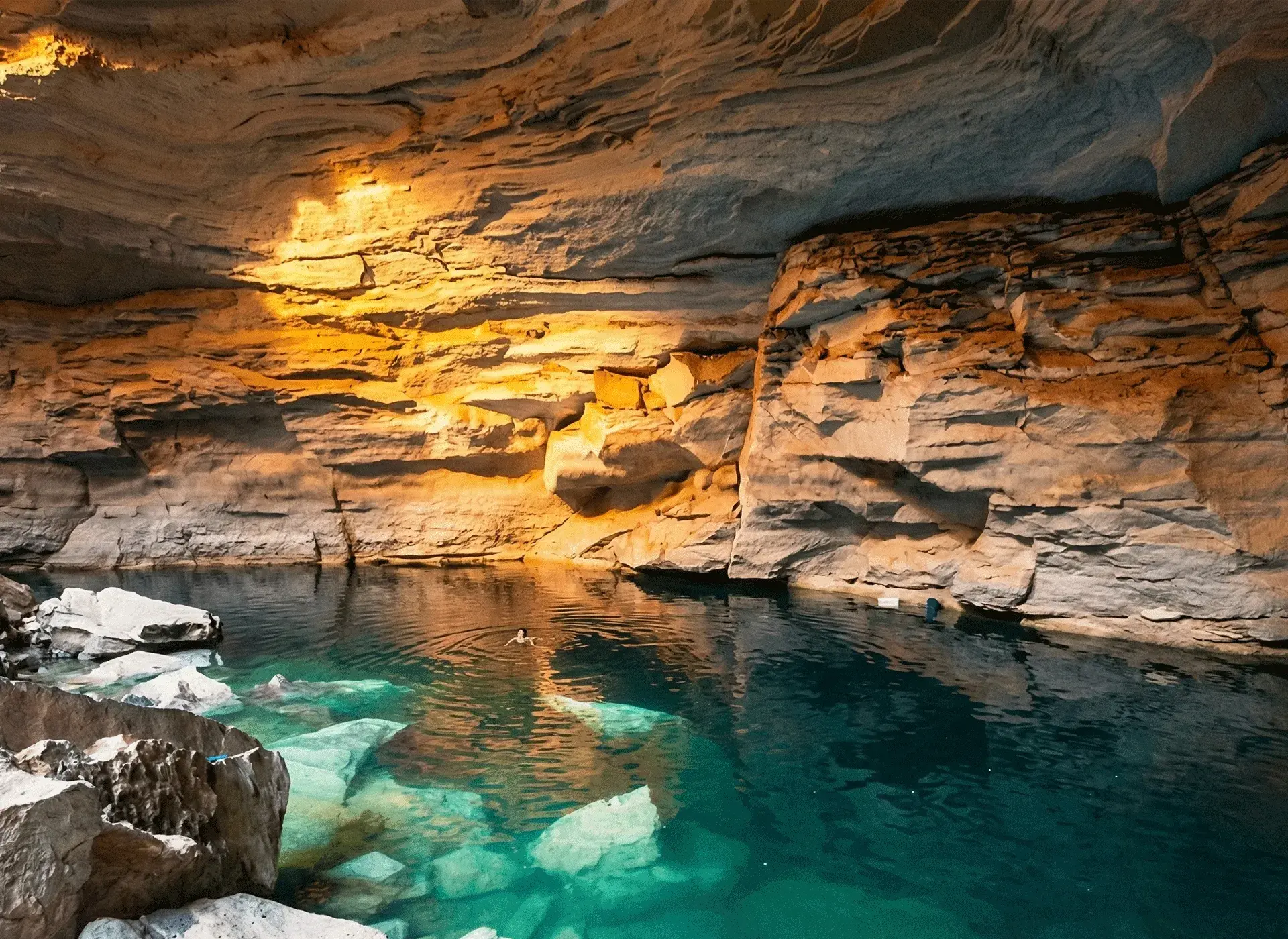
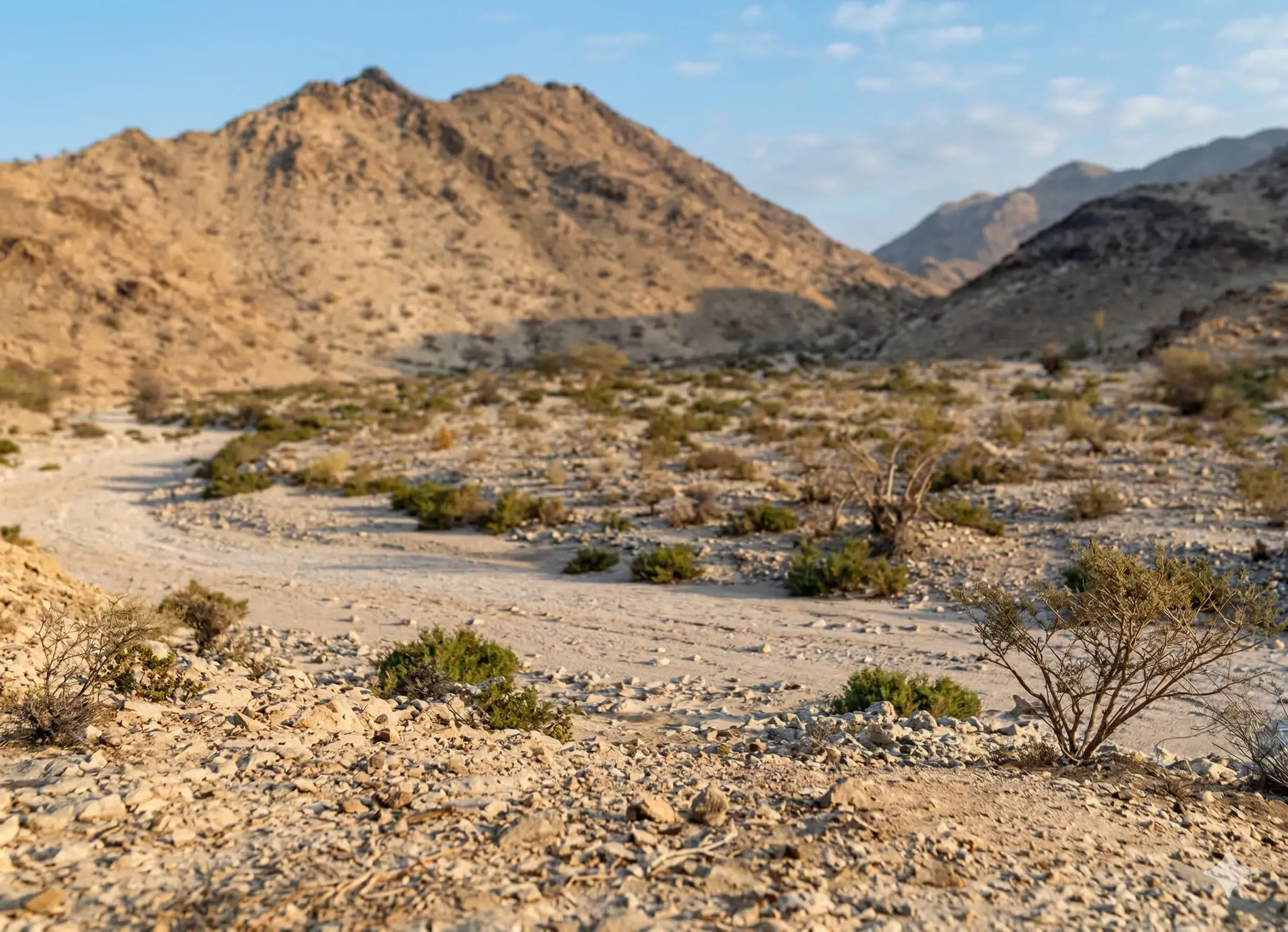
Wadi Fatimah is located about 35 kilometers northwest of Makkah and extends for a length of up to 225 kilometers, running from the Arabian Shield mountains northeast of Makkah until it empties into the Red Sea at Al-Khumrah, south of Jeddah. It is surrounded to the north and south by the Fatimah mountain range, which features basaltic, granitic, and dioritic formations.
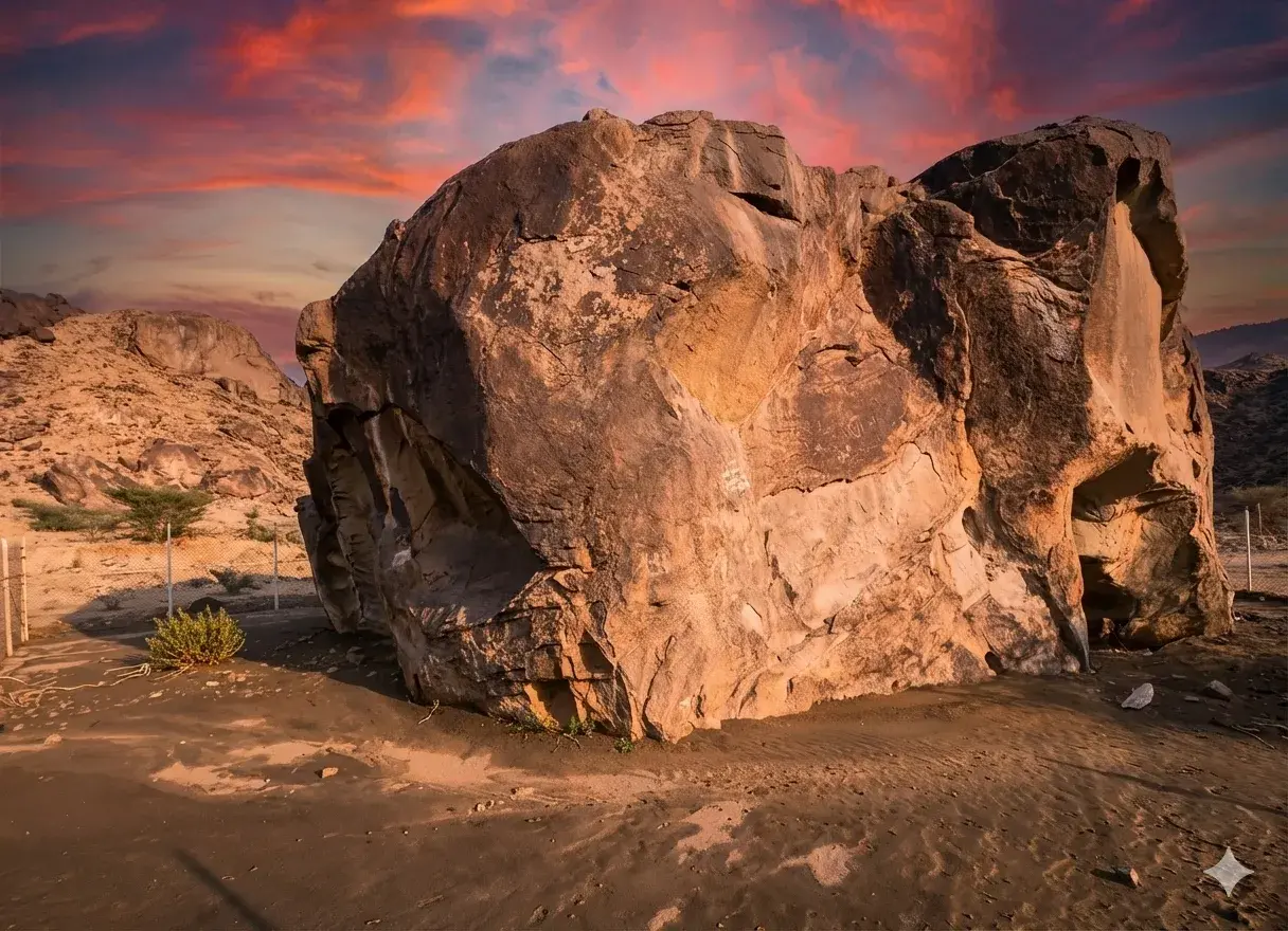
The valley is one of the largest in the Makkah region and the richest in lithic finds, as 32 archaeological sites were discovered containing more than 2,227 stone tools dating back to the Middle Acheulean period.
These tools varied, including hand axes, cleavers, picks, discoidal and bifacial tools, scrapers, knives, drills, and hammers, indicating that the valley's inhabitants engaged in multiple activities such as food preparation, butchering and skinning, stone tool manufacturing, and plant gathering.
The Acheulean sites in Wadi Fatimah were classified into three categories: sites for food preparation and non-lithic tool manufacturing, others for lithic tool manufacturing and butchering and skinning activities, and a third for plant gathering.
The techniques of the tools discovered here are similar to those found at the Saffaqah site in Al-Dawadmi, dating them back to the Middle Acheulean period, approximately 200,000 years ago.
Geological and climatic studies indicate that the region enjoyed abundant water and favorable natural conditions during that period, which allowed for the settlement of a hunter-gatherer community.
Geologically, the valley is fed by Wadi Al-Shamiyyah and Wadi Al-Yamaniyyah, which meet at the village of Sulah to form a main channel. Wadi Hawra, coming from Harrat Rahat, also joins them before Wadi Fatimah heads west towards the Red Sea, connected to other wadi systems like Wadi Nu'man and Wadi Al-Hamd.