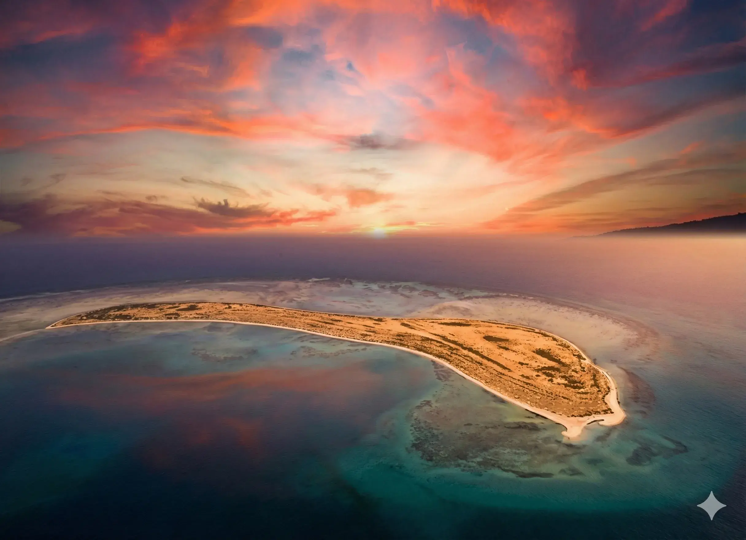
16.2°
Asir Mountains (Sarat Asir)
Asir
A Museum of Nature and Beauty Above the Clouds
Asir
The Asir Highlands are located within the mountainous range of the Kingdom's Western Highlands, with elevations ranging between 2000 and 3000 meters above sea level. They are part of the Arabian Escarpment, which forms the eastern fault-line edge of the Great African Rift Valley.
This region is the rainiest in the Kingdom, with an annual rate ranging between 300 and 500 mm, due to its altitude, proximity to the Red Sea, and its exposure to the semi-monsoonal winds from the southwest and South Atlantic, in addition to Mediterranean cyclones in winter.
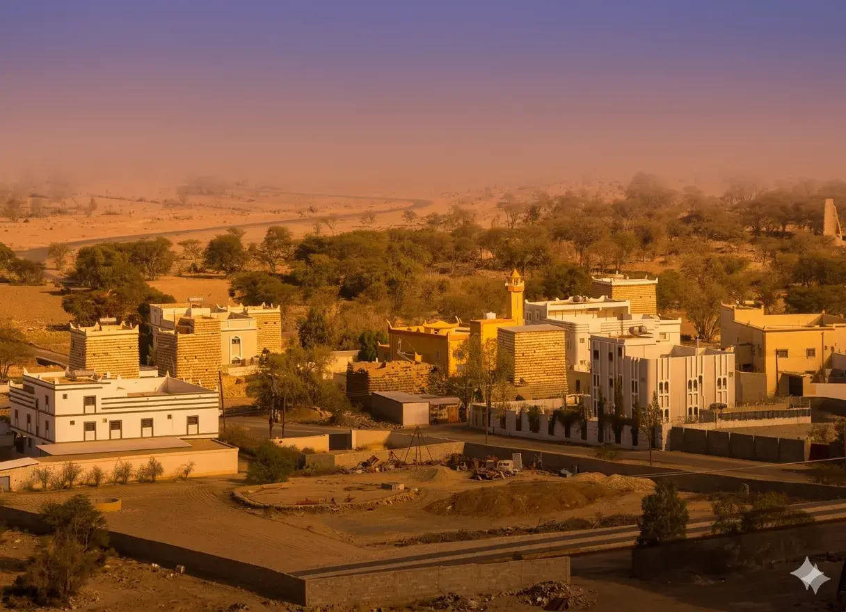
The area has a high population density and includes major cities such as Abha and Khamis Mushait, alongside a sophisticated road network connecting them to multiple urban centers.
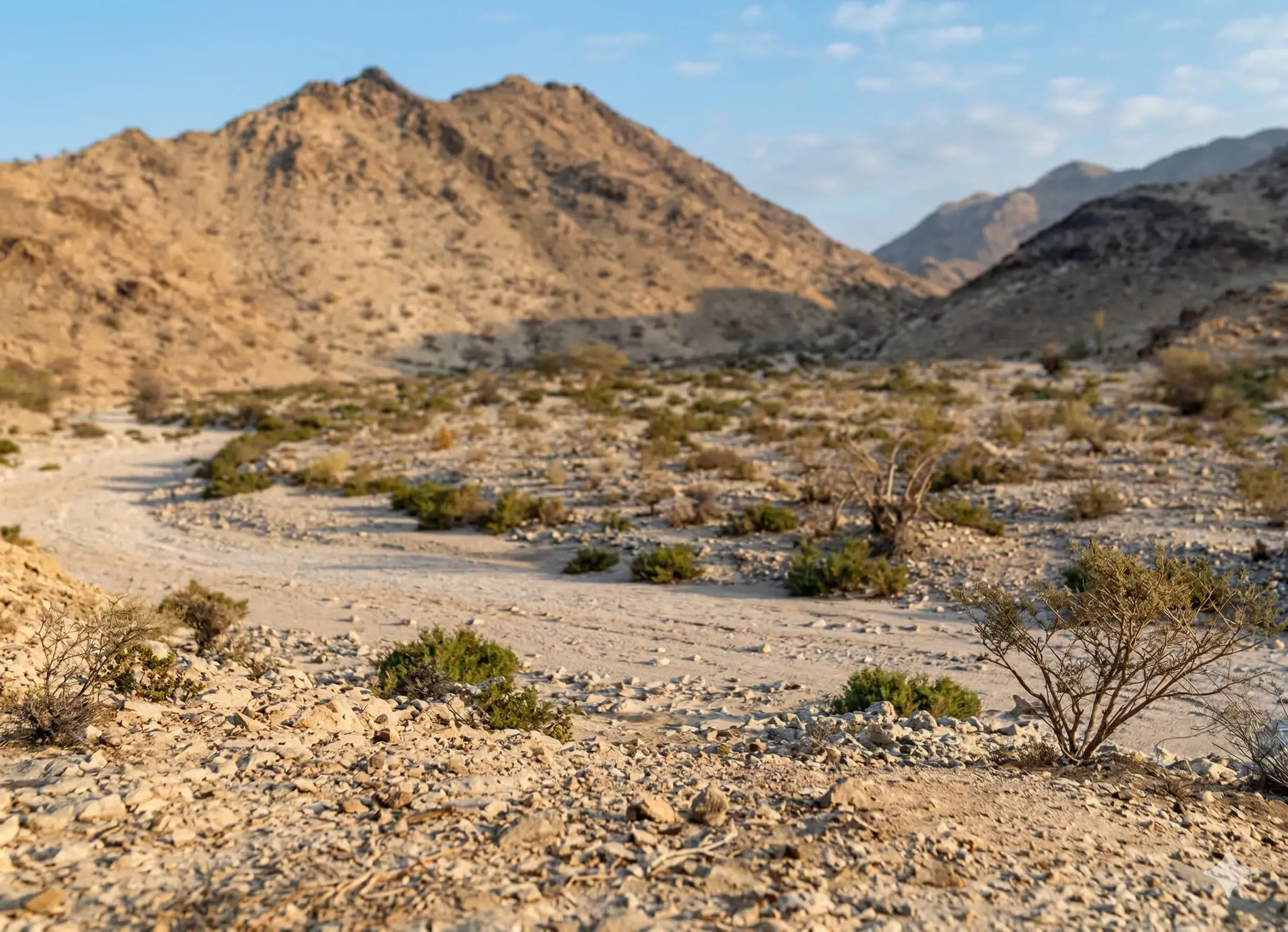
Numerous valleys dissect Asir Mountains, flowing west towards the sea, such as Wadi Hali, Baysh, Sabya, Al-Layth, and Qana, or eastward towards the tributaries of Wadi Bishah, Najran, and Tathlith.
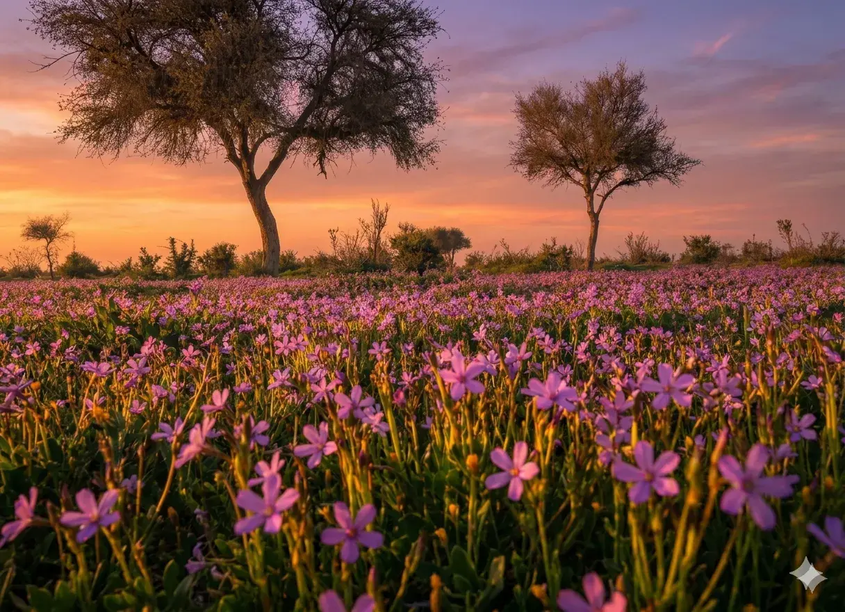
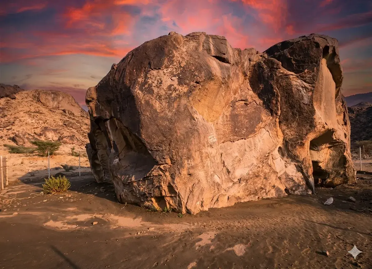
The Asir Highlands are known for their natural beauty and striking topography, from towering mountains, agricultural terraces, and lush valleys to an abundance of diverse rocks that make them an open geological museum.
The mountain peaks in Abha are connected by cable car lines, allowing tourists to view the valleys, slopes, and natural formations, thereby boosting the site's tourism value.
The region represents an ideal destination for paragliding and mountaineering enthusiasts, with the number of people interested in these sports on the rise.