27.3°
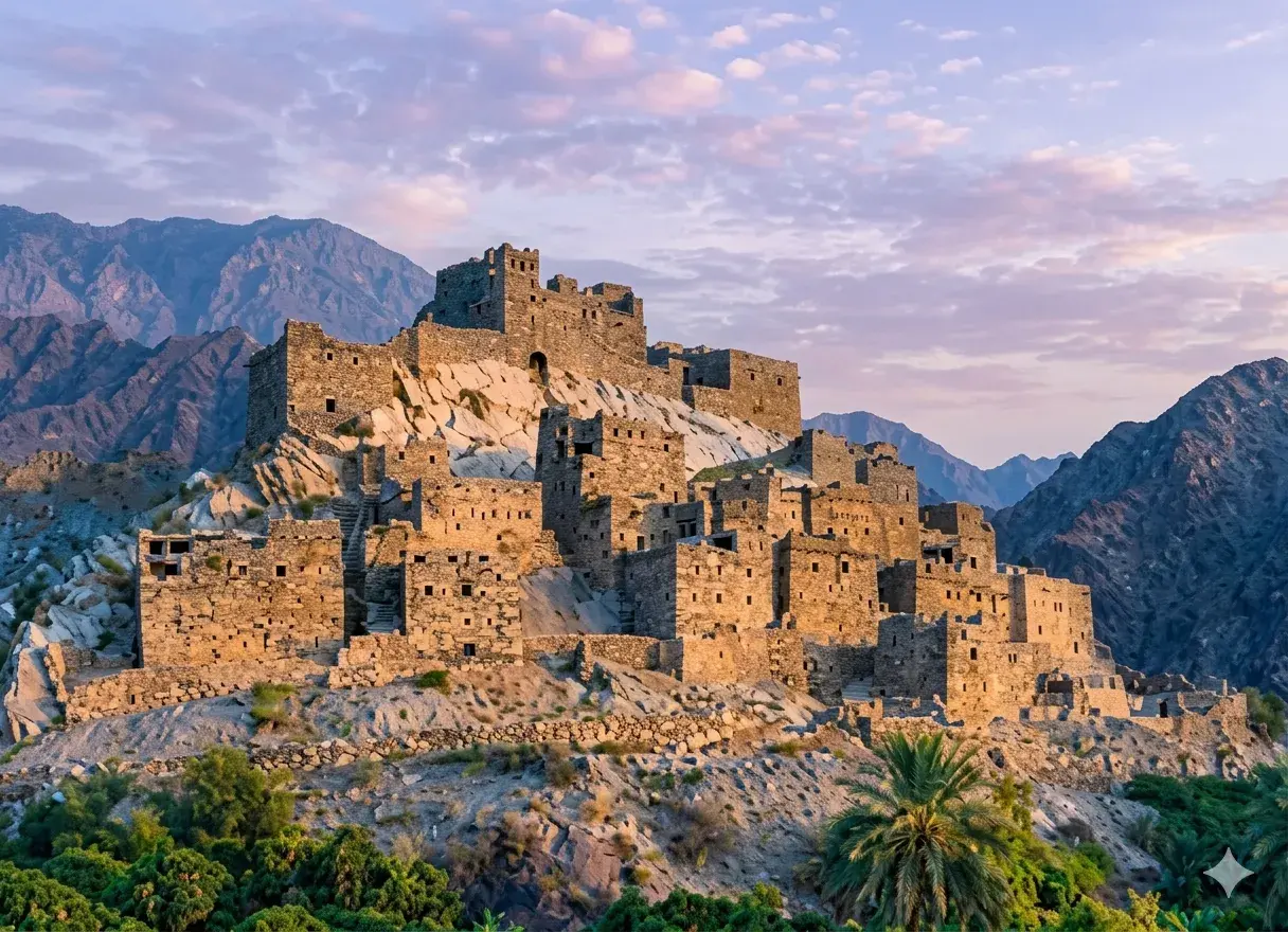
Asir Plateau (Hadhbat Asir)
Asir
The Face of Serenity Between Mountains and Desert
Asir
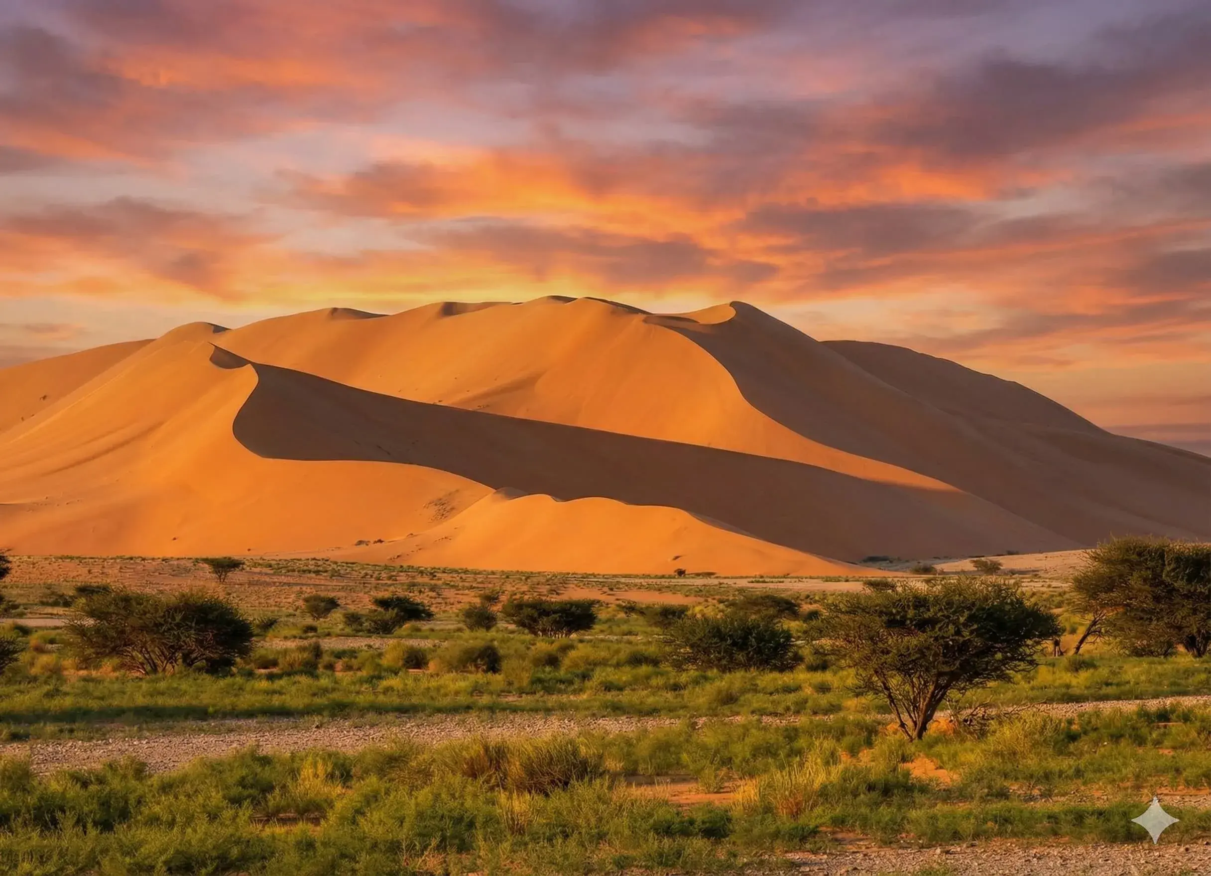
The Asir Plateau (Hadhbat Asir) is located to the east of the Al-Sarah Highlands (Murtafa'at Al-Sarat), representing a natural link between high As-Sarawat Mountains (Jibal Al-Sarawat) to the west and the gradually sloping Najd Plateau to the east.
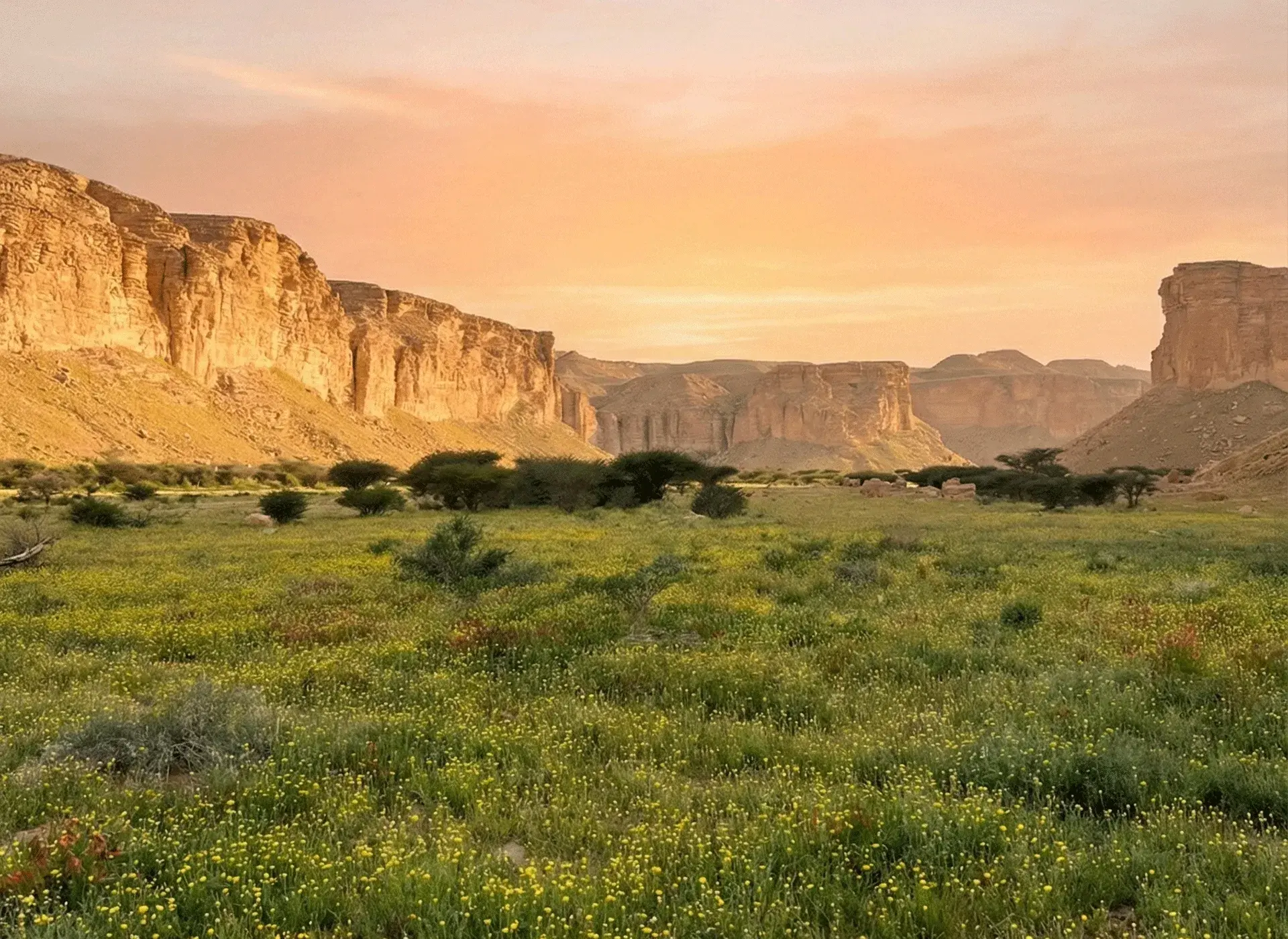
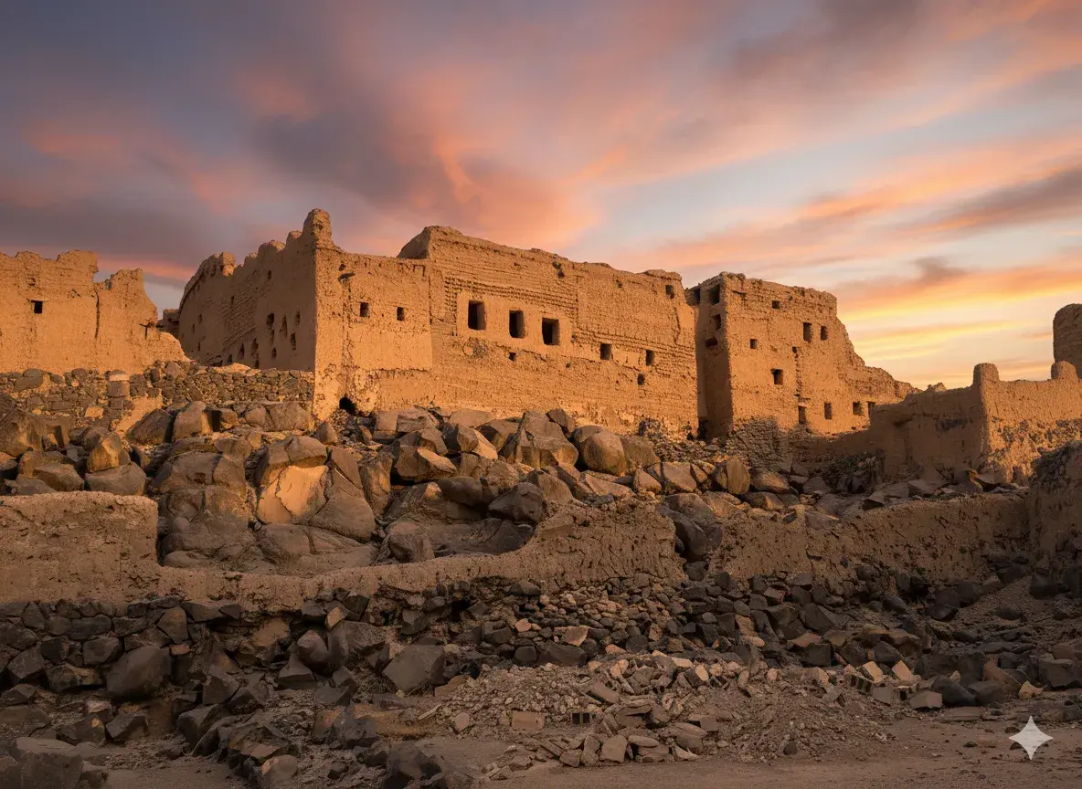
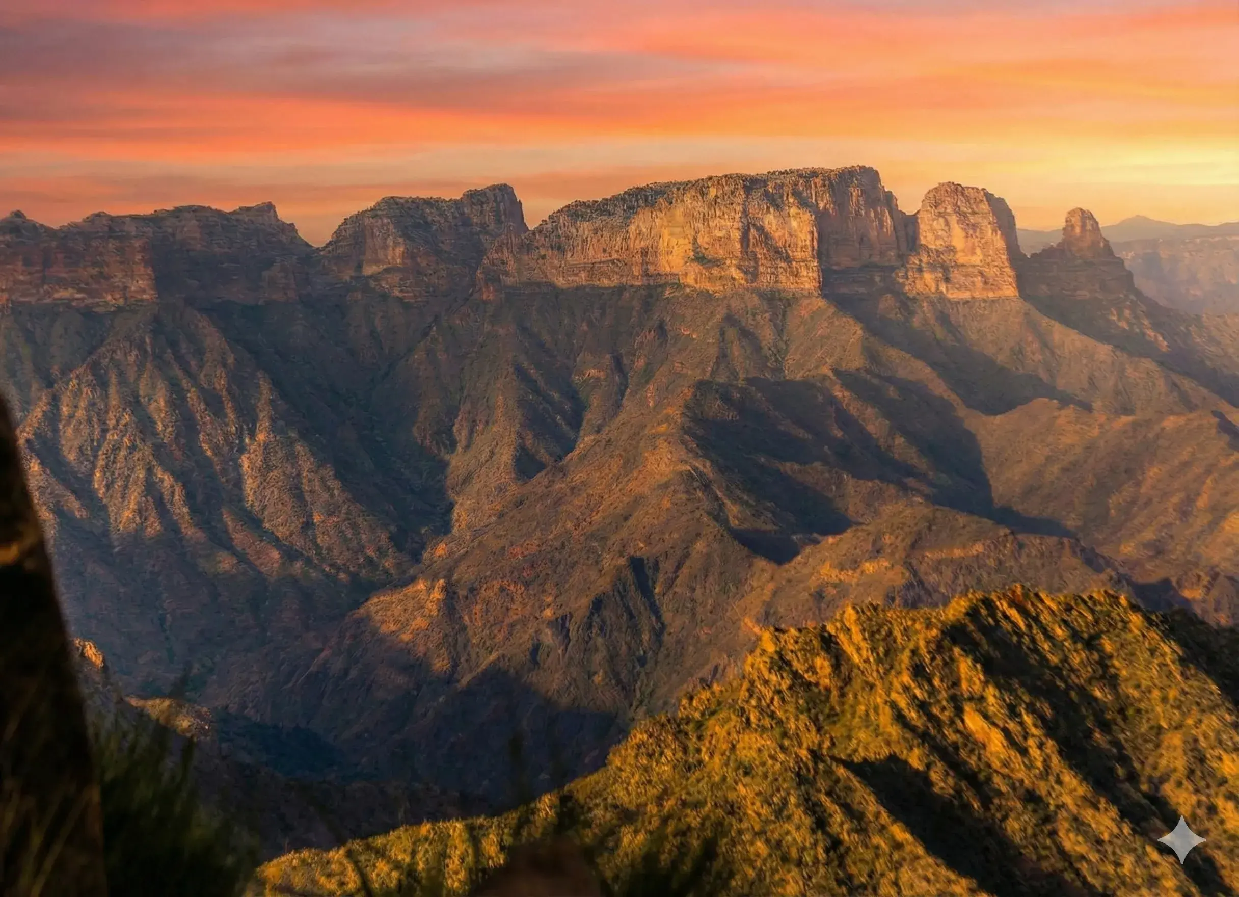
Its average elevation is about 1,400 meters. It is part of the ancient erosional plain on the Arabian Shield. Watercourses draining into the valleys of Bisha (Wadi Bisha), Tathlith (Wadi Tathlith), and Al-Dawasir (Wadi Al-Dawasir) have contributed to dissecting its surface, transforming it into severely rugged terrain, scattered with "precious mountain remnants" that represent relics of the old surface after long erosion.
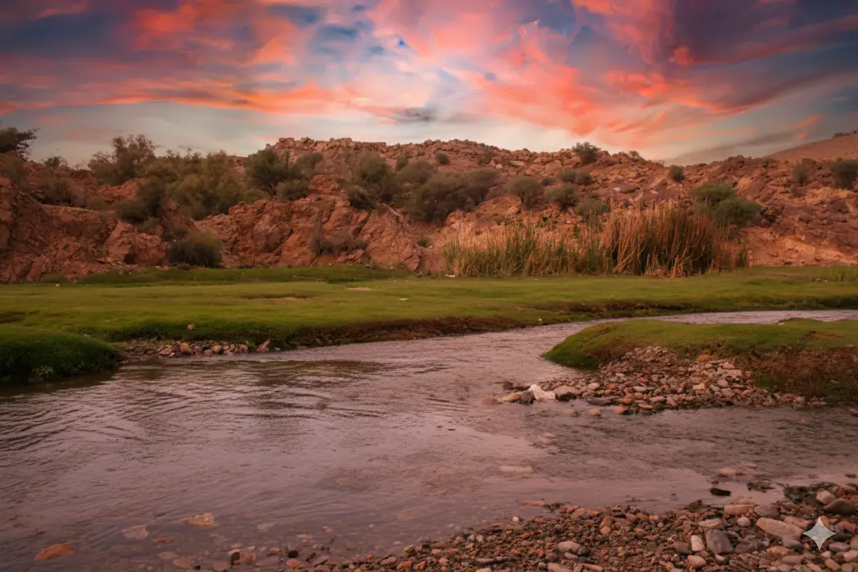
The plateau lies in the rain shadow of the western highlands, thus receiving only 100 to 300 mm of annual rainfall. This has made it a semi-arid region where pastoralism prevails, and population densities are low outside the valley areas.
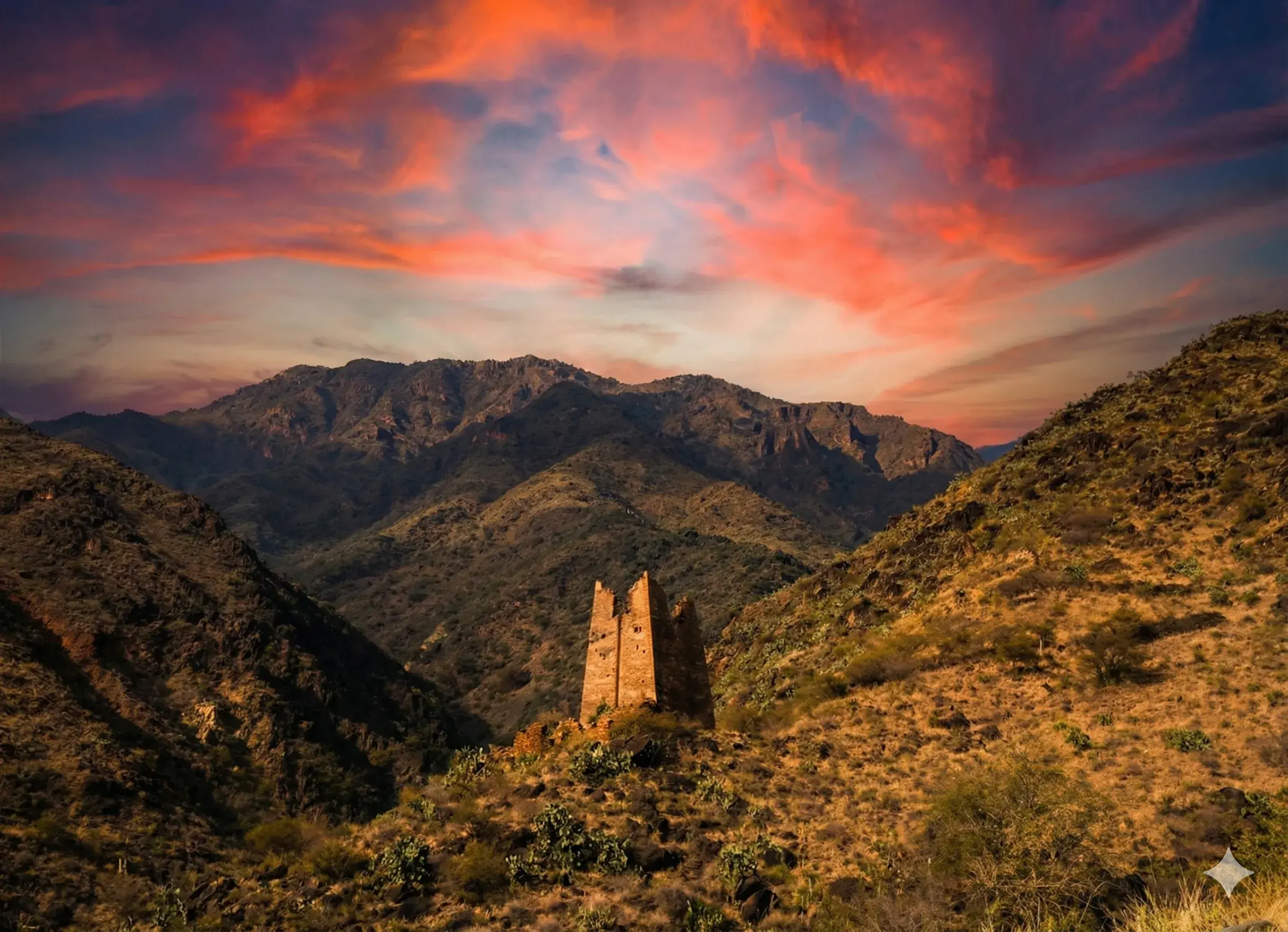
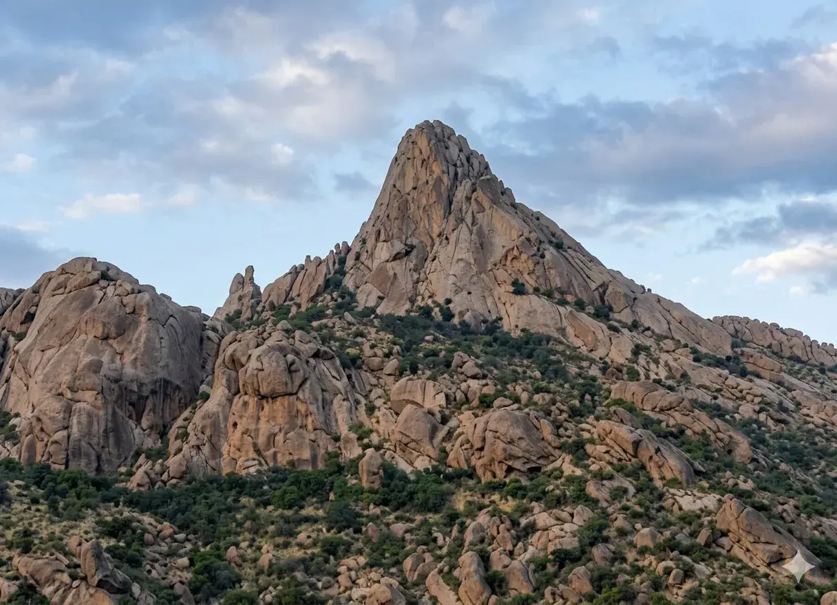
A limited number of isolated mountains are scattered across the plateau, such as Al-Qaharah, Al-Wujeed, Al-Qinnah, Al-Firash, and Koor Al-Majami’ah, though the open plateau nature dominates.
The Asir Plateau is known for its mild weather in winter, making it a seasonal destination for those seeking warmth. It is also a suitable area for lovers of tranquility, contemplation, and observation of the gradually disappearing manifestations of traditional Bedouin life.